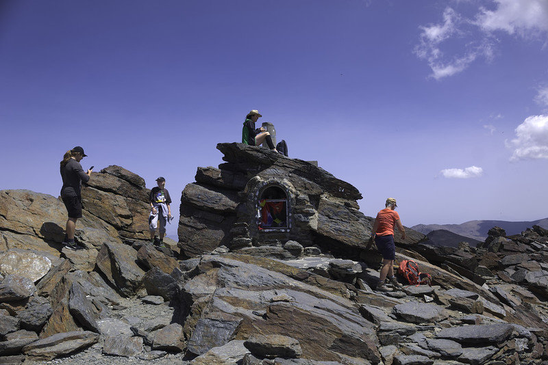
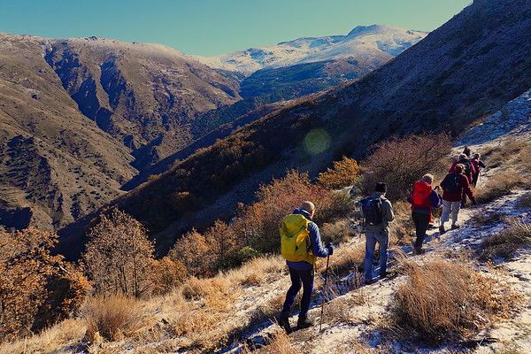
Mulhacen from Alto Chorrillo
Mulhacen
Grade: Tough
Distance: 13 km
Ascent: 762 m
Time: 6 hrs
Optimal months: May to Nov incl
Map🗺️ - 3D⛰️ - Guide🔗 - Photos 📷
A 6 hour walk taking in the west ridge of the mountain and either descending the south ridge or (if time allows) we can visit the lakes at Siete Lagunas.
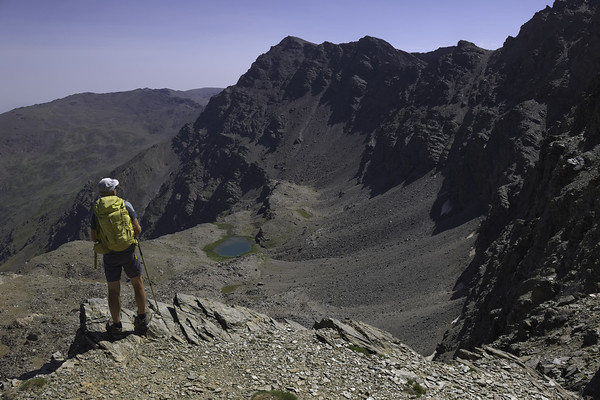
A superb day trip which gains not only the highest peak in mainland Spain (3482m) but also the most beautiful lakeside location in the range at Siete Lagunas. Spectacular views of the N faces!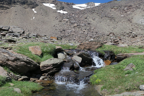
Ascent of Mulhacén via Cañada de Siete Lagunas
Mulhacen
Grade: Very Tough
Distance: 21 km
Ascent: 1870 m
Time: 13 hrs
Optimal months: May to Nov incl
Map🗺️ - 3D⛰️ - Guide🔗 - Photos 📷
Climbing Mulhacén (3,479 m), the highest peak in mainland Spain, via the Cañada de las Siete Lagunas from Trevélez is one of the most iconic and beautiful ascents in the Sierra Nevada. This route is steep, scenic, and steeped in local history — passing through alpine meadows, waterfalls, and the famous Siete Lagunas glacial cirque.
Ascent of Mulhacén from Hoya del Portillo
Mulhacen
Grade: Tough
Distance: 23 km
Ascent: 1331 m
Time: 9 hrs
Optimal months: May to Nov incl
Map🗺️ - 3D⛰️ - Guide🔗 - Photos 📷
From the Alpujarras in the south the ascent of Mulhacén, highest peak in mainland Spain can be done in a long day in the summer. This route avoids using the National Park bus and traverses the mountain without ever covering the same ground twice
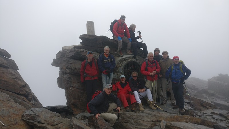
Ascent of Mulhacén from Refugio Poqueira
Mulhacen
Grade: Challenging
Distance: 10 km
Ascent: 986 m
Time: 6 hrs
Optimal months: May to Nov incl
Map🗺️ - 3D⛰️ - Guide🔗 - Photos 📷
The classic traverse of the highest mountain in mainland Spain from the Refugio Poqueira ascending the steep west flank and descending via the long south ridge
Mulhacén via Cueva Secreta and Río Genil
Mulhacen
Grade: Very Tough
Distance: 16 km
Ascent: 2789 m
Time: 15 hrs
Optimal months: May to Nov incl
Map🗺️ - 3D⛰️ - Guide🔗 - Photos 📷
Climbing Mulhacén (3,479 m) — the highest peak in mainland Spain — via Cueva Secreta is a challenging, beautiful, and lesser-known high-mountain route in the Sierra Nevada. This route ascends from the Vereda de la Estrella valley, passes the remote Cueva Secreta bivouac, and climbs steeply through wild, rugged terrain to the summit.
It’s a classic alpinist line, used by early climbers before modern tracks were created — tough, steep, remote, and stunning.