Routes, Maps & Inspiration for Self Guided Walking & Hiking in Spain's Sierra Nevada


N.B This is an interactive map that opens up in new window
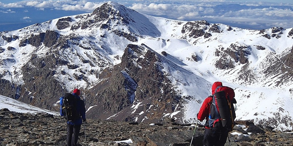
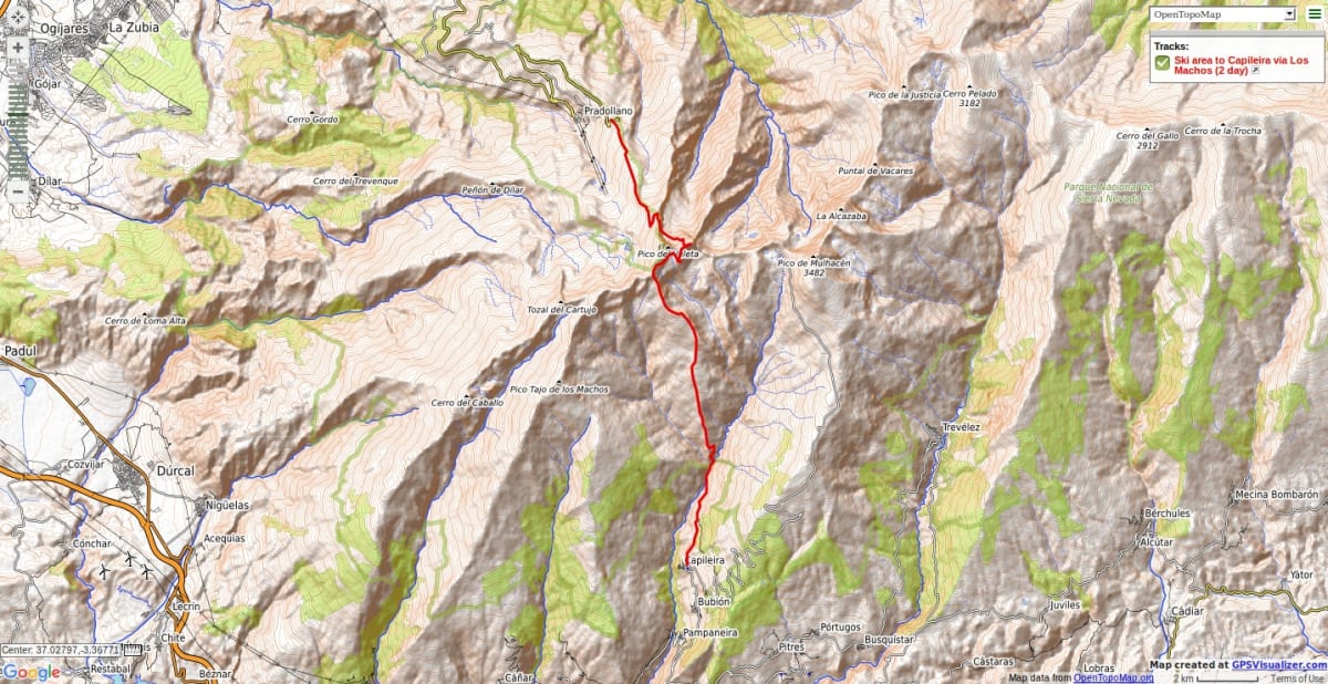
From Hoya de la Mora ascend easy path to Los Posiciones de Veleta. Here you will find the entry into the Corral del Veleta using the Veredon Superior path. This is a little exposed but just a walk. Enter the glacial valley below imposing cliffs. Croos the moraines in the corrie bottom and climb up to the summit of Cerro de los Machos on faint tracks and scree. A wild camp here on the summit makes for superb location for viewing sunset and sunrises.
Then a rocky descent SW to join the old road over the Sierra Nevada. Traverse to the peak of Loma Pua from Collado de Carihuela. Then descend pathless terrain over Pico del Sabinar and down to Cebedilla. Walk along west side of Poqueira valley for quickest return to Capileira.
Major peaks covered: Cerro de los Machos 3329m, Loma Pua, Pico del Sabinar
Seasonal notes: Not normally possible in winter due to exposed avalanche loaded slopes and difficult terrain of alpine nature.
Options: Longer return after traversing over Loma Pelada 3181m and Puntal de Caldera 3223m camping by the Laguna del Caldera.
N.B Please take note of National Park Rules and Regulations regarding Wild Camping
Recommended map: Parque Nacional de Sierra Nevada 1:40000 www.penebetica.com
Want some help? Find a guide? CONTACT US
KNOWLEDGE BASE
Mountain database, refuges, altitude sickness, avalanche dangers, equipment lists, gear rental, FAQs etc
Contact us via our Contact Page Spanish Highs Tours Ltd Head Office:
41 Axholme Drive,
Epworth,
DN91EL,
North Lincolnshire,
UK.
Registered Office: 20-22 Wenlock Road, London, N1 7GU, England © 2019 sierranevada.guide
info@spanishhighs.co.uk
Company Number 09960909 Registered in England & Wales